
Stanage Edge - Peak District Walk
Tuesday 26th December 2006
This was definitely not the conditions I was hoping for today as the walk had been planned as a first outing for my new camera. When we got to the car park we could see that Stanage Edge was disappearing into the clouds and although the cloud did lift it remained a grey day with no real views.
Start: Dennis Knoll car park (SK 2272 8434)
Route: Dennis Knoll car park - Stanage Edge - High Neb (TP) - Stanage End - Crow Chin - Dennis Knoll car park
Distance: 4.5 miles Ascent: 172 metres Time Taken: 3 hrs
Weather: Misty and cold.
Pub Visited: None Ale Drunk: None

Looking up at Stanage Edge from the path from the car park.
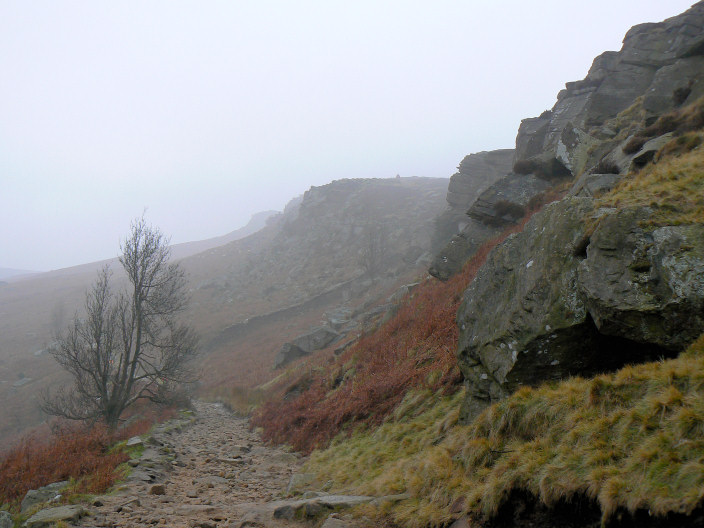
Approaching the top of Stanage Edge.
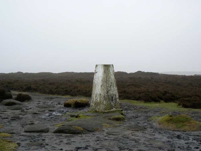
High Neb with no views today.
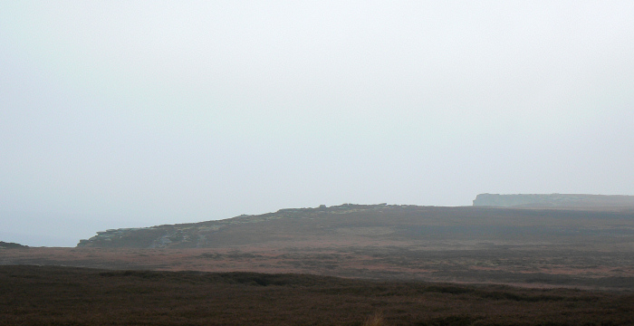
Stanage Edge.
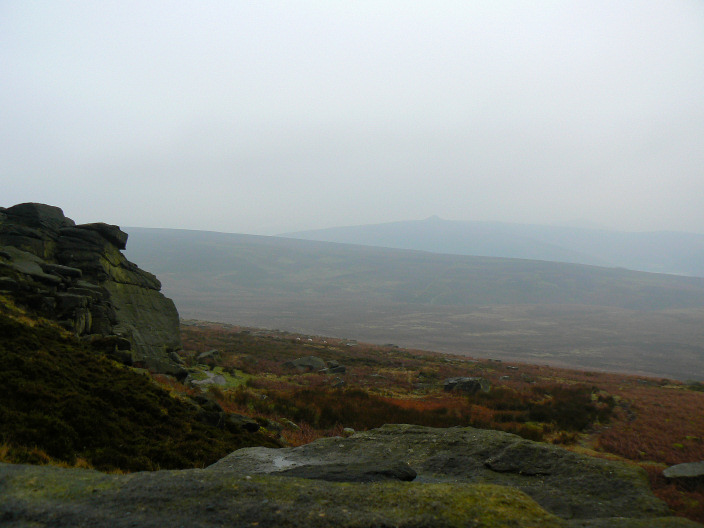
Looking across Moscar Moor with Win Hill just visible in the background.
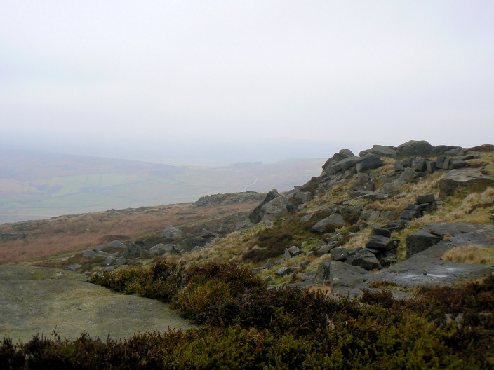
As we reached Stanage End the mist started to lift and the views improved a little.
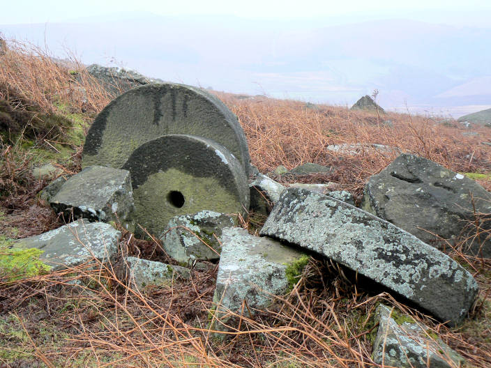
Some of the mill stones below Stanage Edge.
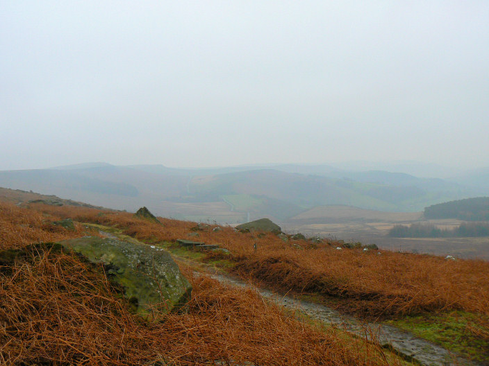
As we walked below Stanage Edge the views continued to improve.
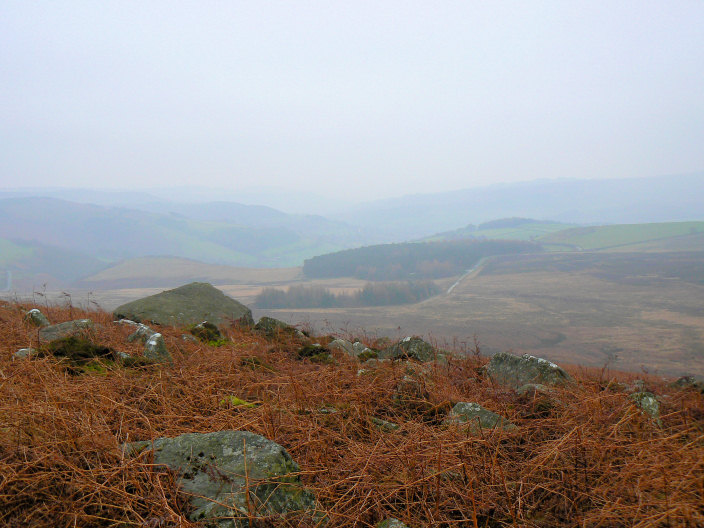
Dennis Knoll from the path below Stanage Edge.
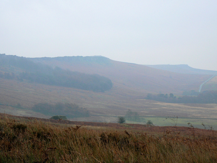
Stanage Edge, looking towards Higger Tor from the path back to the car park.
All pictures copyright © Peak Walker 2006-2023